|
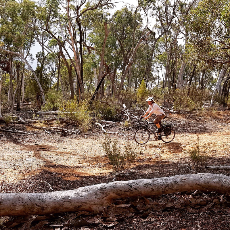
After six months of consultation and signage development, we're proud to announce signage has now been installed and the trail is open to the public! Follow the 11.2km trail from O'Connor to Holt and read about the lives of those living in Old Weetangera, a thriving locality in the region. Download the trail notes here.
Tim the Yowie man has written a beautiful piece highlighting the trail, thanks Tim! Great news! Though the efforts of Aunty Matilda House and Action Heritage, the Red Hill Camp has now been heritage listed. It joins the very few heritage sites in Australia listed for their intangible heritage. We are excited that the ACT Government has chosen to lead the way on recognising the significance of living memory in the importance of place. Check out the Canberra Times article on the listing.
Read more about the Red Hill Camp here: https://redhillcamp.weebly.com/
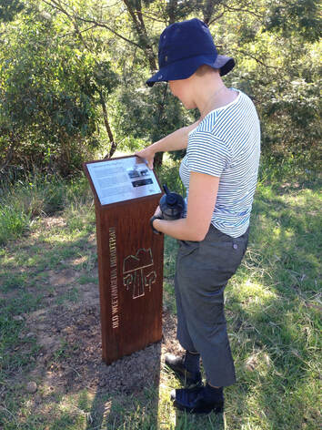
During the ACT Heritage 2018 grant round, Action Heritage was awarded $19,855 to install interpretive signage along the line of the Old Weetangera Road in Belconnen, ACT. We will be installing seven corten steel signs from Lyneham to Hawker telling the history of one of the oldest roads in the Canberra district, and providing an active travel route of 13km. The trail will be launched during the 2019 ACT Heritage Festival.
The grant follows research we have been doing on the road this year as part of the Ginninderry Local History Project with historians Dr Mary Hutchison and Dr Barbara Dawson. The research involved tracing the route of the road and assessing its preservation where it crosses parks and bushland. Weetangera Road was the original trackway (and subsequent Parish Road) running west from the Canberra valley, over Bruce Ridge to the Belconnen (formerly Weetangera) region, and onwards to the ford at the junction of the Murrumbidgee and Molonglo Rivers. Likely dating back to the very earliest days of European settlement in the region, and perhaps even earlier, it is still visible as either current road alignments, bikeways or remnant tracks running through public land. The route links up many heritage sites in the Belconnen district, and plays an important role in the pre-1960s oral history relating to the region. This interpretive trail will form an active travel exploration route between markers (similar to those in the Forde Heritage park below) installed at key locations along the line of the old road. One Canberra Tracks sign will be installed showing the full trail route installed in the park opposite 162 Dryandra Street. Each sign will have a short description of local heritage sites around that section of the road. In future, short videos may be produced by local groups or schools and triggered by each sign. The trail can also be extended to the ford at the Molonglo and Murrumbidge’s junction and link in with the Uriarra Loop track. It could also follow along Coppins Crossing road to the south and link with the Butters Bridge, engaging new developments in the region with some of its oldest European heritage. - Steve Skitmore |


